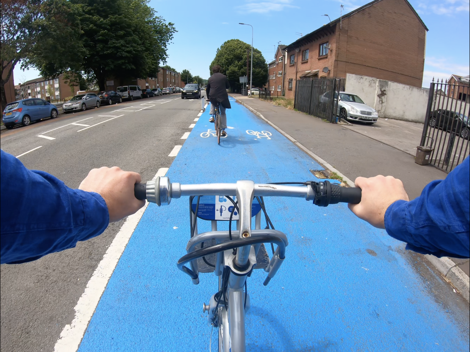
Cardiff Council will be engaging the publicon how the city can improve the transport network using data and technology to reduce congestion, improve bus travel and incentivise cycling and walking.
Using real-time information an ‘intelligent transport system’ could use a range of measures to help people take decisions about the best way to move around the city on a given day or time, including:
- Having a transport user app for the public
- Ensuring that the new bus interchange is integrated into Cardiff’s highway network
- Developing integrated ticketing between different forms of transport
- Implementing SMART corridors to improve bus journey times and manage cross-border travel from neighbouring authorities
- Creating an integrated control room with our transport and public sector partners, and
- Upgrading telematics systems and infrastructure.
Cllr Caro Wild, Cabinet Member for Strategic Planning and Transport said: “We want to ask the public their views on our draft strategy to build an Intelligent Transport System in Cardiff. We do have systems in place already, but they are not integrated, and many are coming to the end of their life, as they have been superseded by newer technology.
“We want to reduce harmful emissions, improve air quality and make Cardiff a healthier city to live and work in. One of the best ways to do that is to change the way we move around the city encouraging public transport, cycling and walking as preferred ways of getting around.
“By 2030, we would like to see 76% of all journeys made by sustainable forms of transport. To do that we will need to double the number of people travelling by bike or by bus. To achieve this, we need better infrastructure which is managed by an integrated, intelligent transport system. It would act as the nerve centre ensuring bus corridors, cycleways and improved pedestrian crossings and pavements are recognised as a key part of the network, and helping to make travel on Cardiff’s roads as efficient as possible.
“Through the development of the transport user app, integrated ticketing and SMART technology, residents and commuters will be better informed, so they themselves can make informed decisions on the best way to travel on any given day at any given time.
“Our draft strategy looks at the use of data and technology to reduce congestion, incentivise active travel to make our highway network more efficient, and will help deal with incidents on the highway more effectively.
“The opening of the bus station in 2023 will act as a trigger point to implement new services and technology, so it is important that we do this work now. ”
Four key themes are explored in the draft strategy:
- New Control Centre with improved technology and closer working with public transport providers
A new control room could include the emergency services, bus and train companies, enforcement officers and other partners. It would help ensure that all services could react and deal with incidents on the highway more efficiently together, including traffic flow and congestion. This work will involve a programme of upgrades to the Intelligence Transport Systems, including the control room itself, as well as signage, traffic signals, enforcement, the parking app and CCTV.
- Improve communication to all those travelling on Cardiff’s highway network
Using live information systems is integral to an efficient transport system. A transport user app which cross checks geographical and live information data on the highway network could benefit the public. Those travelling could see the estimated time to get to a chosen destination by car, train, bus or bike, so they can make an informed choice on how they want to travel.
- Implement SMART corridors
SMART corridors would see arterial roads into the city remodelled to give specific modes of transport priority over motorists. These network changes would use technology tomeasure queuing and journey times to improve network efficiency for more sustainable transport.The first SMART corridor will be on the A470, which will be used to pilot the approach before it is rolled out to other areas of the city.
- Fully integrated Mass Transit System
The Council will work in partnership with Welsh Government and Transport for Wales to deliver integrated ticketing for all forms of public transport. This is seen as a critical step to move people towards more sustainable forms of transport and away from relying on the private car. The council will also explore the use of ‘demand management systems’ where a bus could be ordered, like a taxi, and used in urban areas for short trips. Rather than a bus taking a specific route, the route the bus takes is based on the demand for the service. This demand is determined through data provided to the bus operators through the requests that are made from the public.
The SMART parking app that is currently in place will also be integrated into future systems to make parking in the city centre as efficient as possible.


Leave a Reply
View Comments