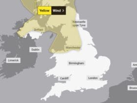
Thunderstorms may develop bringing torrential rain and lightning, with possible flooding and disruption to travel.
[aoa id=”1″]Spells of rain are expected to affect many areas at times from Sunday afternoon and into Monday, moving north-northeastward and perhaps turning thundery at times in some places. Scattered heavy showers and thunderstorms may also develop between bands of rain, particularly on Monday afternoon. Where thunderstorms do develop, 20 to 30 mm rain may fall locally in an hour, and close to 40 mm of rain may fall in two or three hours.[/aoa]
What to expect
- There is a small chance that homes and businesses could be flooded quickly, with damage to some buildings from floodwater, lightning strikes, hail or strong winds
- There is a slight chance that power cuts could occur and other services to some homes and businesses could be lost
- Spray and sudden flooding could lead to difficult driving conditions and some road closures
Where in Wales Wales
- Blaenau Gwent
- Bridgend
- Caerphilly
- Cardiff
- Carmarthenshire
- Ceredigion
- Conwy
- Denbighshire
- Flintshire
- Gwynedd
- Isle of Anglesey
- Merthyr Tydfil
- Monmouthshire
- Neath Port Talbot
- Newport
- Pembrokeshire
- Powys
- Rhondda Cynon Taf
- Swansea
- Torfaen
- Vale of Glamorgan
- Wrexham


Leave a Reply
View Comments